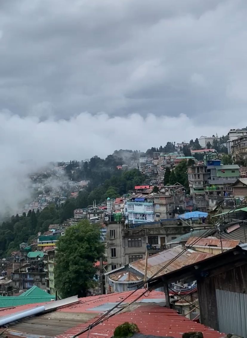
Darjeeling is located on the northernmost edge of the state of West Bengal with the geological coordinates 27°2′15″ N, 88° 15′ 47″ E and has an elevation of 2042m from the mean sea level, it consists of four major sub-divisions, namely Darjeeling Sadar, Kurseong, Siliguri and Mirik. The Darjeeling Sadar division consists of the Darjeeling Municipality (DM), which is the governing body administering an area of 10.57 km2.
According to the Census of India, 2011 the population of Darjeeling city was 118,805, using the geometric increase1 method, the
population for 2024 is projected to be 165,049. Darjeeling, also known as the "Queen of Hills", sees a monthly footfall of 84,000 visitors (Koner et al. 2021) contributing to the floating population; hence, a total population of 245,049 is considered for the SFD preparation.
The SFD graphic shows that excreta generated from 7% of the population is safely managed while 93% of the population is unsafely managed.
- Prepared by: NIUA
- Date of production: 07/08/2025
- Last update: 07/08/2025