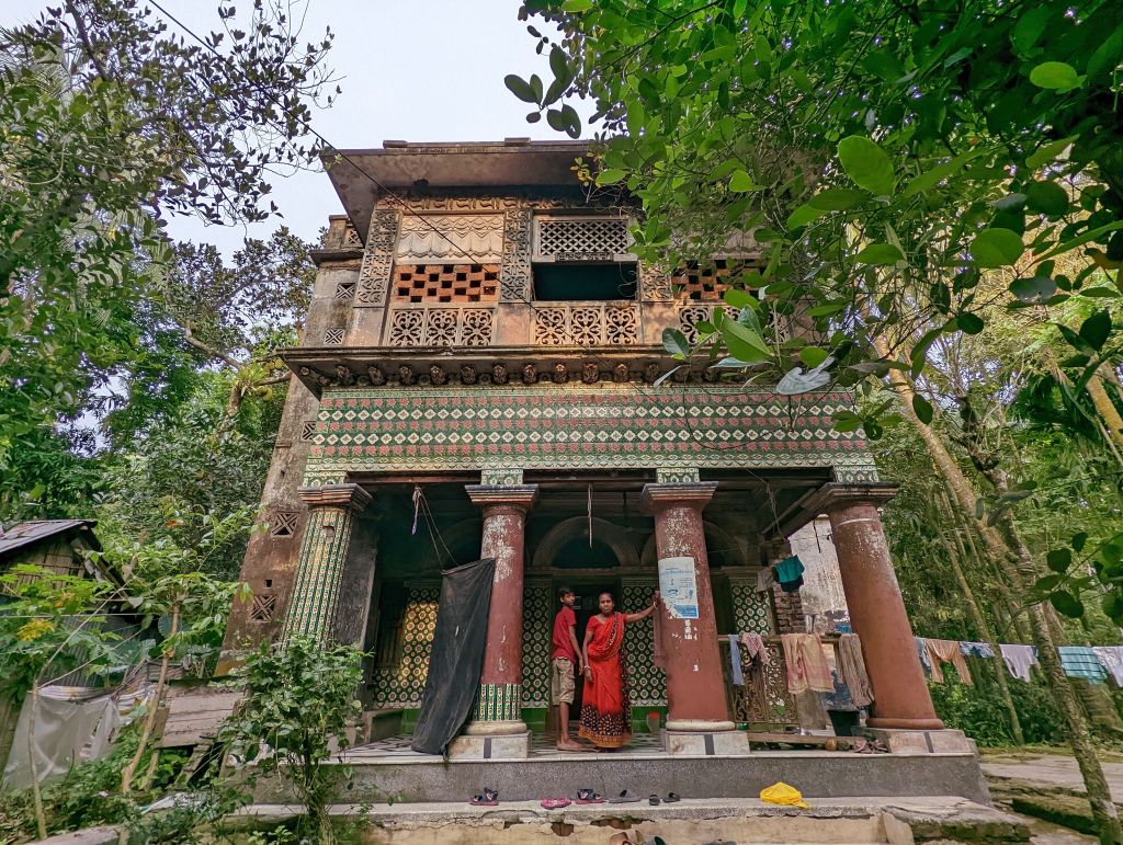
Banaripara is the smallest Upazila in the Barishal District, located in the south of Bangladesh. Banaripara (Upzila?) came into existence in 1980. The geographical coordinates of Banaripara are between 22°45' - 22°52' N and 90°02' - 90°13' E. Banaripara Upazila is bordered by Wazirpur Upazila to the north and east, Nesarabad Upazila of Pirojpur District and Jhalakati Sadar Upazila of Jhalakati District to the south, and Nazirpur Upazila of Pirojpur District to the west.
According to the population census of 2011 conducted by the Bangladesh Bureau of Statistics (BBS), the population of Banaripara Municipality was 10,366. The urban population growth in Banaripara is 1.36% per year. As per information obtained from KII at the Municipality, the present population is around 12,662.
The outcome of the SFD graphic shows that only fifteen percent (15%) of the excreta flow is classified as safely managed, and the remaining eighty five percent (85%) is classified as unsafely managed.
- Prepared by: CWIS-FSM Support Cell, DPHE
- Date of production: 02/09/2025
- Last update: 02/09/2025


