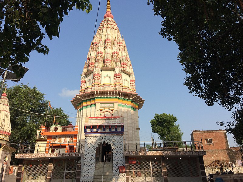
Unnao - India


This file is licensed under the Creative Commons Attribution-Share Alike 4.0 International license.
The town of Unnao is the headquarters of Unnao district in Uttar Pradesh. It compromises of 6 Tehsil and 16 Blocks. The District is part of Central Ganga Plain and lies between Latitude 26°8' N & 27°2' N and Longitude 80°3' E & 81°3' E. The city is famous for its tanneries. It is around 65 km from state capital, Lucknow.
The Urban Local Body (ULB) governing the city is Unnao Nagar Palika Parishad (UNPP). As per the census 2011, the population of the city was 1,77,658 and total no. of households (HH) were 33,273 and is spread across an area of 21.5 sq km. The projected population used for this SFD for the year 2020 is 214,128. For this study, only area that falls under Nagar Palika Parishad i.e. Municipal boundary is taken into consideration.
The annual normal Rainfall of the district comes to 837.125 mm. The maximum rainfall occurs during the monsoon period i.e. June to Sept. having the normal value 743.60 mm of which is monsoon rainfall 88.83% of the total annual rainfall. The July and August are the wettest months having the normal rainfall of 262.125 and 247.35 mm respectively. Depth of ground water in pre and post monsoon ranges between 2.15 to 14.13 mbgl and 0.60 to 13.33 mbgl respectively.
The majority of the population in Unnao (91%) uses onsite sanitation systems. None of the residents are practicing open defecation. Only 19% of the excreta in Unnao is safely managed, leaving 81% unsafely managed. This SFD Lite Report was prepared by CSE in 2020.
- Prepared by: CSE
- Date of production: 17/12/2020
- Last update: 14/06/2022


