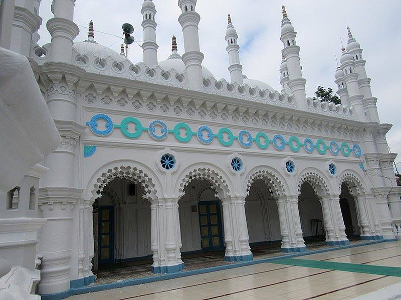
Jamalpur, Bangladesh - Bangladesh


Creative Commons Attribution-Share Alike 4.0 International
Jamalpur is a fast-growing city, which is 174 km away from the Dhaka city. It is beside the Brahmaputra River and well connected with road, rail and water. It is one of the oldest towns in the sub-continent and was declared municipality in 1869. Jamalpur is one of the 53 district level municipalities in the country.
According to the population census in 2011 by the Bangladesh Bureau of Statistics (BBS), the Pourosova Population was 142,764. The urban population growth in Jamalpur is considered 2.5% per year. Considering 10% floating population, such as farmers and traders, comes to the city every day, the present (2020) population is estimated to be around 196,122.
The municipality covers an area of 53.28 square kilometres. At present, Jamalpur municipality has 205.66 km of road out of which 161.68 km is bituminous road, 24.93 km is Reinforced Cement Concrete (RCC) road, 3.05 km is HB soling road, and 16 km is earthen road. The city has about 55.245 km of drain which includes 43.50 km of pucca drain and 11.745 km of earthen drain (Table 1).
The geographical coordinates of Jamalpur are: 24° 20' 0" North, 88° 55' 0" East (Figure 2). In the context of Bangladesh, the municipality area is relatively highland. The Brahmaputra River passed east side of the municipality. The municipality falls in Physiographic Unit Brahmaputra floodplain. The general soil type is grey floodplain and non-calcareous dark grey floodplain soil.
Most of the population in Jamalpur (98%) uses onsite sanitation systems. None of the residents are practicing open defecation. Only 1% of the excreta in Jamalpur is safely managed, leaving 99% unsafely managed. This SFD Lite Report was prepared by CWIS-FSM Support Cell, DPHE in 2021.
- Prepared by: CWIS-FSM Support Cell, DPHE
- Date of production: 28/04/2021
- Last update: 14/06/2022


