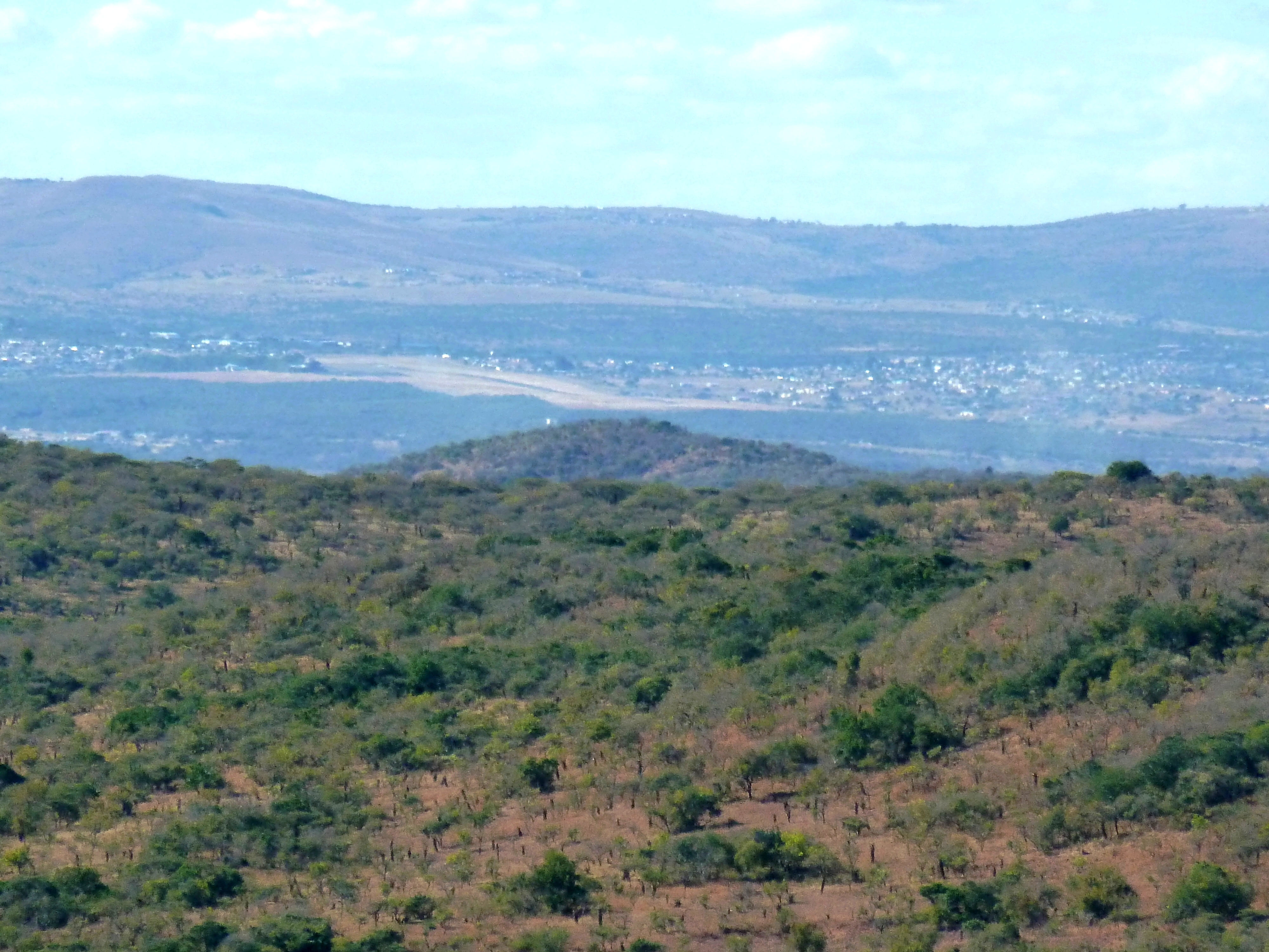
Ulundi - South Africa


JMK (CC BY-SA 3.0)
This SFD Intermediate Report was developed for Ulundi Local Municipality (LM). The Ulundi LM is categorised as a Category B Municipality within the Zululand District Municipality (ZDM), KwaZulu Natal Province. The responsibility of planning and development, including the supply of water and sanitation services, lies with ZDM for Ulundi LM. The Ulundi LM is approximately 3,250 square kilometres (km2) and is located on the southern boundary of the ZDM in north eastern KwaZulu-Natal. The Ulundi LM represents 22% of the total area of jurisdiction of the ZDM and consists of 24 wards. Ulundi LM has 8 traditional councils on Ingonyama Trust Land which cover a sizeable area and are characterised by underdevelopment and a lack of service provision.
Due to its size, the climate and topography of Ulundi LM varies depending on the location. The total population in Ulundi LM is estimated to be around 256,426. The sanitation backlog is estimated to be around 7% (open defecation). A significant number of on-site sanitation refurbishment / replacement facilities are required.
- Prepared by: Emanti Management
- Date of production: 21/11/2018
- Last update: 23/09/2021


