Tarkastad - South Africa
Reviewed SFD 
Morné van Rooyen
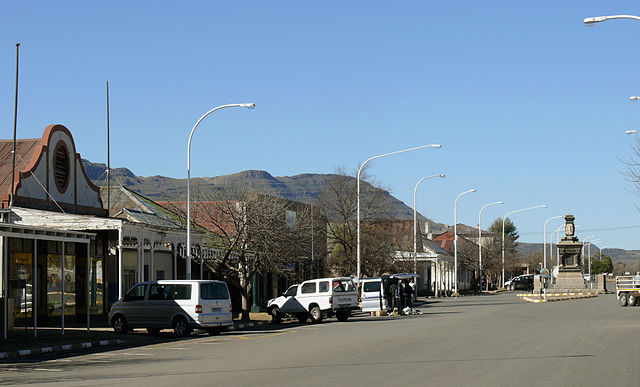
Tarkastad (GPS coordinates: 32.0048 S, 26.2717 E) is a primary development node and serves as the local administrative centre for Enoch Mgijima LM (Enoch Mgijima Local Municipality, 2017). Tarkastad used to form part of the Tsolwana Municipality which was subsequently absorbed as part of the Enoch Mgijima LM. Tarkastad initially developed as a farming area and later as a church centre and a municipality in the 1800s. The 2011 Census noted that Tarkastad had a population of 1,604 people living in 499 households with an average household size of 3 persons per household. The land area of Tarkastad is 81.79 square kilometres (km2). As an urban node, the town has relatively high access to potable water (over 95%) and appropriate sanitation (84%). The 2011 Census noted that nearly 16% did not have appropriate sanitation (bucket toilets = 11% and no toilets = 5%). Around 75% of the Tarkastad population have access to electricity for lighting purposes and around 96% have access to weekly refuse removal (Stats SA, 2011). Tarkastad normally receives about 355 mm of rain per year with most rainfall occurring mainly during summer. Average midday temperatures for Tarkastad range from 15°C in winter to 28°C in summer (SA Explorer, 2014). Areas around Tarkastad have slope of less than 5%. Shale, mudstone and sandstone of the Beaufort Group of the Karoo Sequence predominate in this area. Soil salinity is a challenge in irrigation areas of Tarkastad (Tsolwana Municipality, 2007).
This SFD Lite Report was developed for Tarkastad and included surrounding townships of Zola, Matyhantya and Ivanlew. It is typical within South Africa to have townships developing around primary urban nodes. The township of Zola has a population of 4,455 with 1,385 households (average household size of 3.2). The Zola township population is higher than Tarkastad town. According to (Stats SA, 2011), around 55% of the population in Zola had access to flush toilets connected to the sewer with smaller percentages having access to septic tanks (2.5%) and Ventilated Improved Pit (VIP) latrines (0.1%). A significant proportion of the population made use of bucket toilets (34%) and had no facilities at all (6%). However, the municipality account indicates that there has been significant reduction of open defecation and use of the bucket toilets since the Census 2011.
- Prepared by: Emanti Management
- Date of production: 06/11/2018
- Last update: 30/09/2021