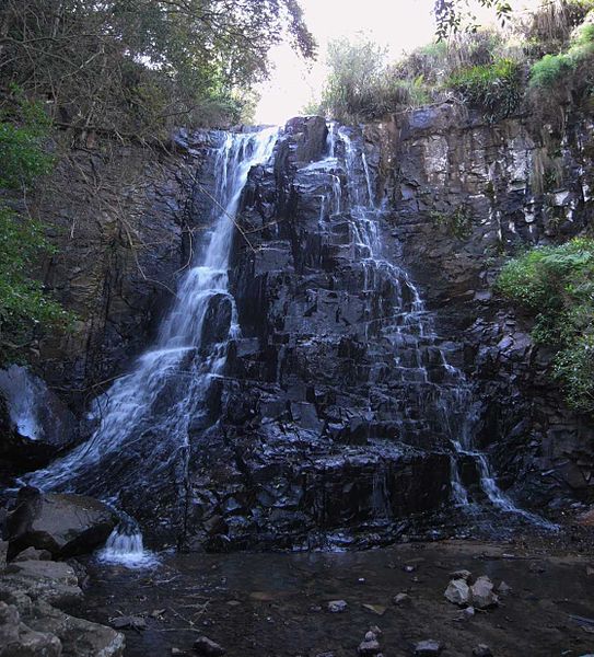
Amathole District - South Africa


CC BY 3.0
The Amathole District Municipality (ADM) is in the central part of the Eastern Cape Province, South Africa. The Amathole DM covers 200 km of coastline of the Indian Ocean in the south to the Amathole Mountains in the north. The DM jurisdiction includes large parts of the previously disadvantaged Ciskei and Transkei homelands. The land of the DM is 21,229 square kilometres (km2) (Amathole District Municipality, 2018).
There are conflicting sources of the population size in Amathole DM. The population size has been reported to range between 862,077 and 914 842. The Municipalities of South Africa website cites a population size of 880,790 based on 2016 Stats SA Community Survey (Municipalities of South Africa, 2021). The Integrated Development Plan (IDP) from the Amathole DM has conflicting population size numbers within the same document with the population size indicated as 862,077 and 914,842 (Amathole District Municipality, 2018). Other sources show that the population in 2016 was 862,077 in line with the Municipalities of South Africa website (Eastern Cape Socio Economic Consultative Council, 2017).
The majority of the population utilise on-site sanitation systems (81% on-site sanitation), only 6% of the population are connected to off-site sanitation and 13% practice open defecation.
- Prepared by: Emanti Management
- Date of production: 01/06/2022
- Last update: 14/06/2022


